
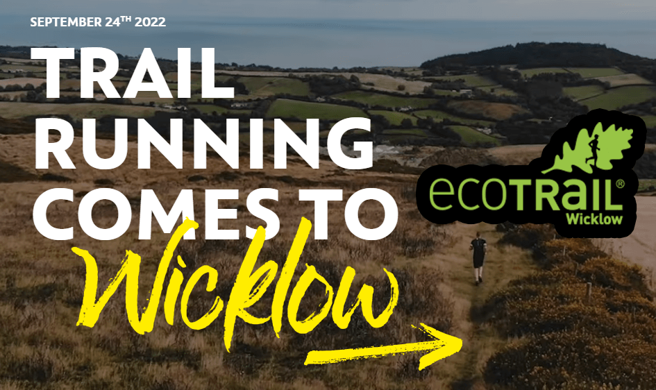
Ecotrail – Wicklow
September 24, 2022

The 19 km race is the most widely accessible of all the races in our series but don’t be fooled into thinking that you will miss out on a lot just because you picked the shortest distance!
You begin at the promenade at Bray seafront before climbing up the slopes of the coastal hill Bray Head where you can look out across the Irish Sea. From here you enter the Elizabethan Kilruddery Estate before a run up and around the Little Sugarloaf – a limestone mountain carved out by the ancient sea that once covered this area of the Irish coast.
You return to Bray Head via Belmont estate (Water station here after 11km) where you are greeted first by views over Dublin Bay and then by a true Irish welcome at the finish line!
The 19 km route almost entirely on hard-packed trails with 3 short sections of rocky trails and only 2 very short road sections as you cross between Bray Head and the Little Sugarloaf.
A map of the route is provided for your general information but this map is not intended to be used for access purposes.
Please do not access private sections of the route particularly in Kilruddery & Belmont Estates and Powerscourt Waterfall unless using their permitted public access routes.
REGISTER for the EcoTrail Wicklow HERE
View route in Trace de Trail or Plotaroute

The 30km trail race ‘fills the gap’ between the short 19 km route and the longer distances.
Like the other races in the series you start on the scenic promenade at Bray seafront and take in the challenging climb to the little seaside hill – Bray Head.
The 30km race continues to follow the longer race routes through Killruddery Estate out past both the Little and Great Sugarloaf mountains. After the Aid station (Km 14) on your return you will complete essentially a loop of both of these spectacular limestone peaks and returning to Bray Head via Belmont Estate (Water station at 22km ).
Most of the trails on the 30km route are hard-packed and rocky trails with brief road sections.
A map of the route is provided for your general information but this map is not intended to be used for access purposes.
Please do not access private sections of the route particularly in Kilruddery & Belmont Estates and Powerscourt Waterfall unless using their permitted public access routes.
As you approach the finish line you will enjoy views across Dublin Bay before receiving a true Irish welcome at the finish line in Bray.
REGISTER for the Eco Trail Wicklow 30 km Event HERE
View route on Trace de Trail or Plotaroute

Like all four race distances, the 46 km route begins on Bray harbour front. Leave behind the seaside promenade to tackle the steep climb to the iconic cross on Bray Head. Here you bid farewell to your views of the Irish Sea and turn towards the mountains proper.
You traverse mixed terrain trails across the Little and Great Sugarloaf Mountains, passing through the scenic Kilruddery Estate on-route to the Wicklow Way – a 132 km walking trail stretching south out of the Irish capital Dublin. Your journey home begins at the foot of the Powerscourt Waterfall and returns to Bray Head via Belmont Estate.
As you approach the finish line you will enjoy views across Dublin Bay before receiving a true Irish welcome at the finish line in Bray.
A general map of the route is provided for your information but this map is not intended to be used for access purposes.
Please do not access private sections of the route particularly in Kilruddery & Belmont Estates and Powerscourt Waterfall unless using their premitted public access routes
REGISTER for the Eco Trail Wicklow 46km Event HERE
View route on Trace de Trail or Plotaroute

The longest race of the Irish series takes you from the coastal town of Bray to the Wicklow Mountains National Park. Your journey begins on the seaside promenade before the short steep climb to the iconic cross on Bray Head. Here you bid farewell to your views of the Irish Sea and turn towards the mountains proper.
You continue your run on a variety of trails with the early stages of the race dominated by interesting rocky trails as you traverse across Little and Great Sugarloaf Mountains, passing by the scenic Kilruddery Estate, on-route to the Wicklow Way – a 132 km walking trail stretching south out of the Irish capital Dublin.
The middle-section of the race offers nearly every type of good trail imaginable with a few sections of quiet country road and plenty of ups and downs to keep you challenged and entertained. Wicklow is called ‘The Garden County’ for a reason and you pass by many of the national park’s highlights including the Powerscourt Waterfall and Lough Tay (‘The Guinness Lake’) viewpoint before a loop on the newly upgraded ‘Roundwood Reservoir’ trails signals the beginning of your return journey to Bray via Belmont Estate.
We expect most finishers will arrive between 9 and 12 hours after they depart, and they will be greeted by the dusk settling over Dublin Bay and the glittering lights of Bray and Dublin where you can expect a true Irish welcome as you cross the finish line on the seafront.
There will be cut-off points along the route and one of these gives the option of dropping onto the 46km event at the 24km point
A map of the route is provided for your general information but this map is not intended to be used for access purposes.
Please do not access private sections of the route particularly in Kilruddery & Belmont Estates and Powerscourt Waterfall unless using their permitted public access routes.